Exporting Maps as PDF or Images > Overview
Starting FusionMaps v3.0.6, you could export your maps as images. And FusionMaps v3.1 adds new dimensions to it, by allowing you to export as PDFs as well, and also lets you choose whether to export the maps at client-side or server-side.
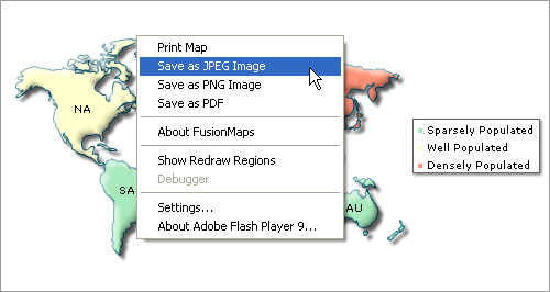
Shown below is an example image, where a user can export the map using the context menu of map.


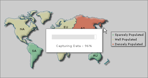
Once the capturing process is complete, the data is sent to our export handlers which in turn return the image/PDF to you.
Now, before we jump into the pan to explain the usage, let us first see what all can be made possible using FusionMaps Export Component.
Using FusionMaps export maps routine, you can do the following:
- Export maps as images (JPEG, PNG) or PDFs at client-side or server-side. In either case, the map first needs to render in browser. You cannot directly export the map as images/PDFs on server until the map has rendered in browser.
- When using server-side export, you can save the exported output on server's disk at a configurable location. This allows you to later embed those maps in your emails or reports.
- When using client-side export, you can use our batch export process to export all maps present on a page as a single image or PDF in just one click.
- Configure callback JavaScript functions that get invoked after the export process has completed. This helps you show a custom waiting message to the user during the map export process and also integrate your export process with dynamic scripts and AJAX components
- Configure cosmetic properties of the client-side export handler User Interface. The client-side export handler is the component used to convert maps as images when opting for client-side export.
If you're already excited about how all of this can be attained, let's quickly first see what happens behind the scenes so that you get a good understanding of the entire process.